Nepal flood disaster reconstructed minute by minute
France 24
F
France 24
Original Source
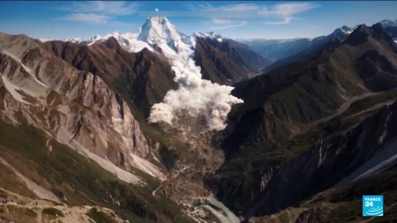
New satellite imagery reveals Nepal's devastating floods were triggered by the collapse of a glacier near the Chinese border, unleashing a debris torrent that raced across more than 80 kilometers at speeds up to 150 km/h. Authorities warn the disaster may continue as a newly formed upstream lake begins to overflow.
One of your browser extensions seems to be blocking the video player from loading. To watch this content, you may need to disable it on this site.
New satellite imagery and video analysis show the deadly Nepal floods began when part of a glacier near the Chinese border collapsed, triggering a debris flow that raced downstream at up to 150 km/h and devastated communities over more than 80 kilometres. Scientists are still piecing together the exact sequence of events, while authorities warn the disaster may not be over as a newly formed lake upstream has started to overflow.
New satellite imagery and video analysis show the deadly Nepal floods began when part of a glacier near the Chinese border collapsed, triggering a debris flow that raced downstream at up to 150 km/h and devastated communities over more than 80 kilometres. Scientists are still piecing together the exact sequence of events, while authorities warn the disaster may not be over as a newly formed lake upstream has started to overflow.
🔗 Share Article
Tags:#نيبال#فيضانات#كارثة طبيعية#أقمار صناعية#الصين#الكوارث
Source: France 24
For Context
Related reads from the same topic or latest developments


